-1783304403050.jpg)
Satellite data helps to mitigate disasters in the Philippines
By Yen Ocampo
Through various collaborations, the Philippine Space Agency is disseminating geospatial and satellite data to help in disaster mitigation and educate researchers and students on better disaster management planning.
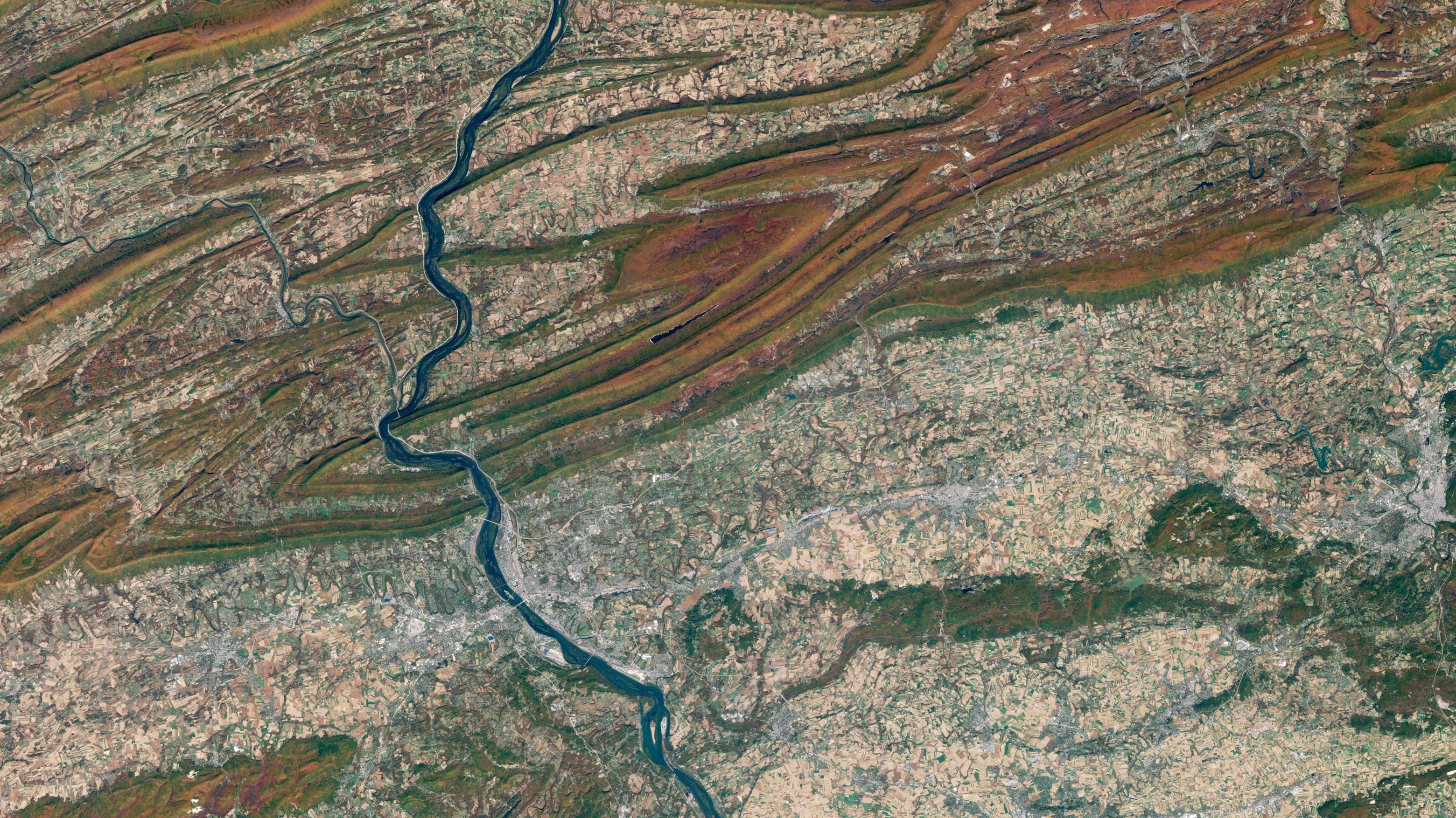
The Philippine Space Agency (PhilSA) is equipping Filipino educators, researchers, and industry professionals with hands-on skills in remote sensing (RS) and geographic information systems (GIS), enabling them to apply data science to real-world problems. Image: Canva.
As one of the most disaster-prone countries in the world, the Philippines is turning to satellite data as a powerful tool to safeguard lives, protect resources, and guide national development.
Situated along the Pacific Ring of Fire and typhoon belt, the country faces about 20 tropical cyclones each year, as well as frequent earthquakes and volcanic eruptions.
The coupling of data science alongside satellite data, particularly for geospatial analysis, is playing a crucial role for the Philippine Space Agency (PhilSA) to develop the country’s national disaster management strategies to improve preparedness.
Additionally, PhilSA is equipping Filipino educators, researchers, and industry professionals with hands-on skills in remote sensing (RS) and geographic information systems (GIS), enabling them to apply data science to real-world problems through its training courses on downstream data utilisation.
Collaboration with DOST-STII
PhilSA has extended the reach of space and data science education through a collaboration with the Department of Science and Technology’s Science and Technology Information Institute (DOST-STII) via STARBOOKS.
As an offline digital library, STARBOOKS delivers curated materials on earth observation, astronomy, and space cooperation to geographically isolated and disadvantaged areas (GIDAs).
By making resources available without the internet, rural students and educators gain equal access to knowledge that can shape future careers in science and technology.
Speaking to GovInsider, the Chief of the Information Resources and Analysis Division (IRAD) at DOST-STII, Alan Taule, shares that STARBOOKS is the country’s first “S&T library in a box”.
He adds that this helps bridge the learning gap by providing students and teachers in geographically isolated and disadvantaged communities with essential STEM resources.
Instead of travelling to a library, these communities receive STARBOOKS directly in their schools.
“By adding PhilSA content to STARBOOKS, it becomes a force multiplier in promoting satellite use in all of its STARBOOKS sites, now numbering over 9,200 throughout the country,” Taule says.
Taule says that early exposure to satellite data builds technical confidence in mapping, spatial analysis, and action planning among students and young professionals.
These skills enhance school projects, research, and local problem-solving, while also nurturing interest in careers in data science, environmental management, or national space programmes.
“The ripple effect is clear: once educators integrate RS and GIS into classrooms, the next generation is empowered to see space and data science as relevant, accessible, and essential,” he adds.
Training for educators
PhilSA’s training for educators covers sensor systems, image processing, mapping, projections, spatial modelling, assessment, and field data collection.
They learn how to embed RS and GIS into STEM curricula, introducing students to the tools of the future.
Researchers and industry professionals gain skills that are vital to projects in disaster risk reduction, agricultural optimisation, flood mapping, and environmental monitoring.
Participants use Google Earth Engine, Google Earth Pro, and QGIS to create flood susceptibility maps for Central Luzon, providing valuable data for evacuation planning and infrastructure design.
Other exercises involve forest monitoring to track deforestation and land use change, strengthening environmental management. These practical outputs illustrate how satellite data and GIS tools can translate into actionable community benefits.
Data science plays a vital role in ensuring reliable energy access, especially in remote or disaster-prone areas.
Satellite imagery helps identify safe, efficient sites for power plants, transmission lines, and distribution systems while monitoring hazards and watershed health.
To subscribe to the GovInsider bulletin, click here.
Partnership with NPC
PhilSA’s partnership with the National Power Corporation (NPC) highlights the practical value of applying satellite tools for site identification, post-disaster assessments, and sustainable energy planning.
PhilSA Deputy Director General for Space Science and Technology, Gay Jane Perez, tells GovInsider, “through this partnership, we’re not just exchanging data or technology, we’re building something more sustainable.”
She explains that access to near-real-time satellite feeds allows NPC’s engineers and field teams to extract insights and apply them directly to operations, whether in monitoring dams, planning energy projects, or responding to emergencies.
Perez believes that by democratising access to satellite data and strengthening local capacity, PhilSA is helping build a more informed, resilient, and future-ready nation.
NPC President & CEO, Fernando Martin Roxas, adds that the partnership would help his organisation in the planning and execution of projects, watershed management, and the location of causes of outages in areas that are affected by the rain.
He adds that it also supports the planning of their complex fuel supply chain for 260 power plants in the most remote last-mile regions of the archipelago.
Looking ahead, PhilSA envisions a Philippines where space science and technology applications (SSTA) are integrated into everyday governance, industry, and community decision-making.
This vision includes building a pool of local experts for disaster preparedness and climate resilience, embedding spatial data into critical sectors, and ensuring that actionable insights improve the quality of life for all Filipinos.