-1783304403050.jpg)
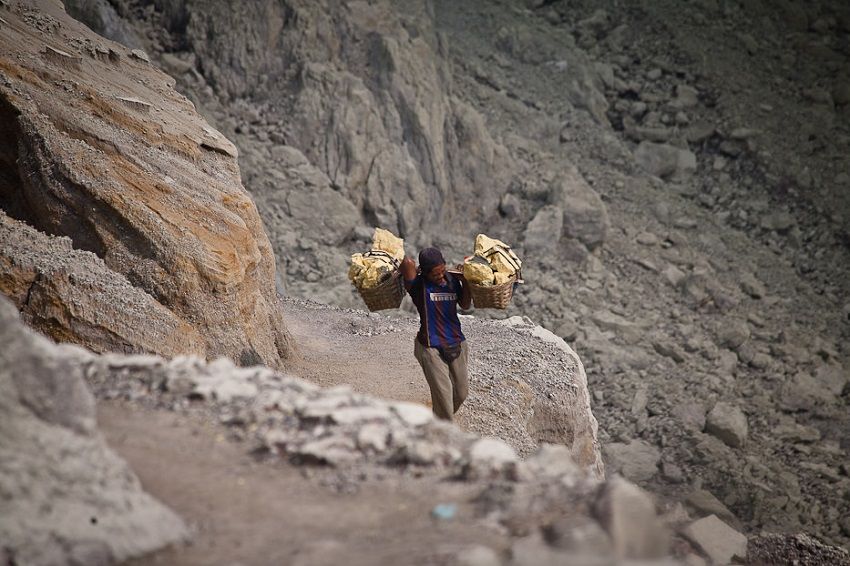
How Indonesia is mining its problems away
Slated a shared portal for local governments to track mining permits.
The Oppenheimer Blue sits in a proportionate cut, emanates azure hues under light, and has been described as “the Mona Lisa of blue stones”.
The prized diamond shone at auctioneers in Geneva this May, and was lauded to be the largest gem of its kind ever for sale.
But while the haves attend auctions and play up their knuckles with diamonds, often little thought accompanies the issues underlying permits to mine.
Indonesia had a problem with keeping its permits in check - more were issued than it had on record.
GovInsider caught up with Surya Herjuna - Head of Mineral and Coal Information and Mining Area Planning, Directorate General of Mineral and Coal, Ministry of Energy and Mineral Resources - about the challenges Indonesia faced with mining permits, and how his team has drawn up a centralised map to address this.
The root of the problem
In 2001, Indonesia’s local governments were given the authority to manage all mining projects.
This gave way to a mismatch in the permits that were issued and recorded by the government. “There was no data synchronisation between the ministry and local governments”, said Herjuna.
The country had issued 10,000 permits since, but only 4,000 were recorded by the ministry. One of the reasons was that local governments were reluctant to inform the ministry when they issued permits.
Provinces are required to deliver physical permit files to Jakarta, but a lack of infrastructure in islands made this a costly proposition. The government also lacked a national map to track all mining activities.
While centralised maps are “common in many developed countries”, Indonesia “does not have a long history in the implementation of spatial information in the policy-making process”, Herjuna said.
This resulted in overlapping mining permits. The ministry was left with 3,000 incorrect permits. New permits were issued for mines which had already been dug, and others were issued in conserved zones where mining was not allowed.
Digging deeper
The Ministry of Energy and Mineral Sources built Minerba One Map Indonesia (MOMI), an online geographical information database that gathers mining permits across local governments.
It was launched in 2014, and pools maps such as forestry layouts, farm lands, oil and gas sources and geological formations from relevant agencies.
This ensures that the maps on the online portal are accurate, Herjuna said. Local governments have access to the central geodatabase, and can easily inform the federal government that they have issued a new mining permit, Herjuna explained.
This addresses the issue of overlapping - as the system will reject duplicate issues of permits, he said.
Polishing the tools
The team dreams of opening the platform for citizens to track permits, and expand on its details to include budget reports, production and sales statistics, and environmental impact. However, the system still lacks the infrastructure to do so, Herjuna said.
“It does not have robust hardware to support millions of users”. This will be improved, he added, so that “in the future MOMI can be used by the public at large”.
Indonesia is facing similar problems in tackling its haze crisis - a lack of a single map has led to overlapping permits and ambiguous boundaries for forest use.
This has slowed down the process of identifying the people responsible for the annual forest fires in Sumatra and Kalimantan.
The government has launched a single map to solve this, but few local governments have been forthcoming. And while the team behind the mining map ploughs away, a gem might just be found at bay.