
Better data can build more connected cities
At the Digital Transformation Indonesia Conference and Expo (DTI-CX) 2026, government and industry leaders highlighted the importance of data integration in building more connected and efficient cities.
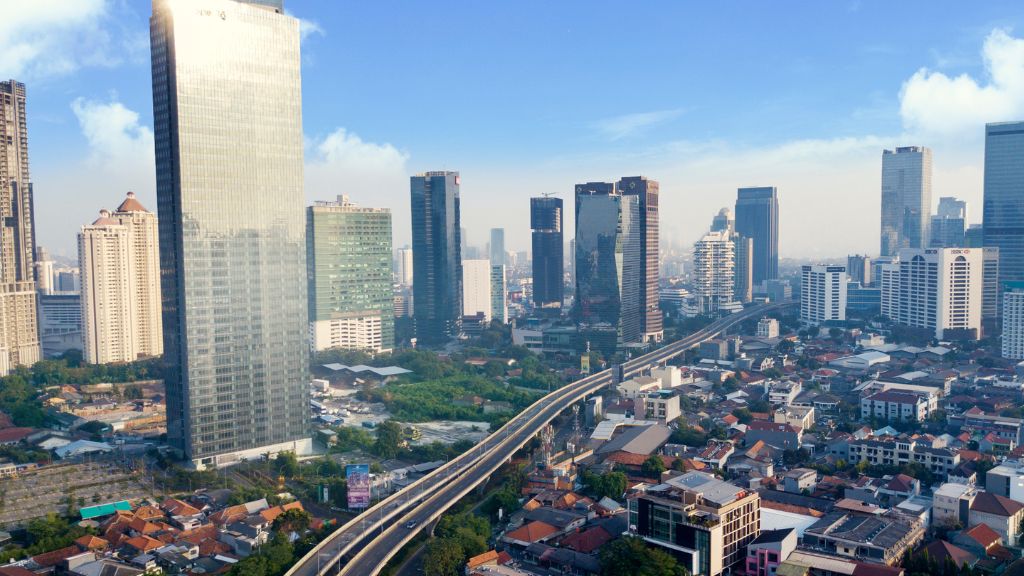
Government and industry leaders emphasised the importance of accurate and integrated data to support urban planning. Image: Canva
A combination of factors, including population growth, increased mobility, and the expansion of the digital economy are making large cities increasingly complex to manage.
In Indonesian cities like Jakarta, Bogor, Depok, Tangerang and Bekasi (Jabodetabek) metropolitan area, a major centre of growth, the situation was even more complex as financial, commercial, industrial and trading activities were concentrated in the same geographic area.
Against this backdrop, accurate and integrated data has become vital to helping governments respond to urban needs more quickly and effectively.
Data has become a critical foundation for urban planning, from determining the direction of area development to optimising transport and goods distribution.
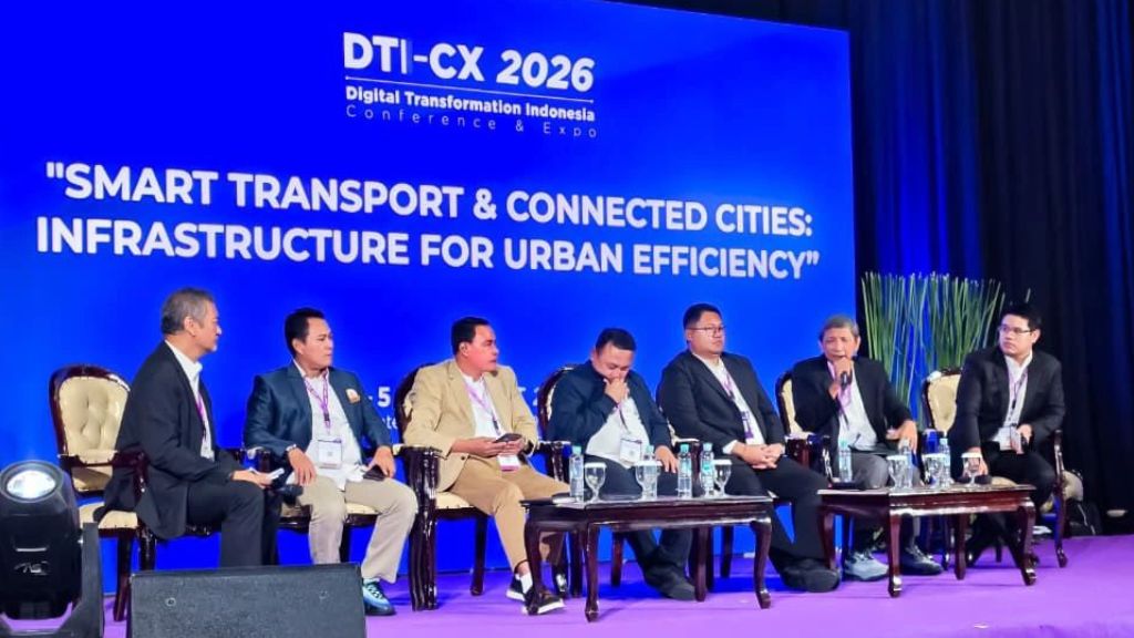
This was the key takeaway from Smart Transport & Connected Cities: Infrastructure for Urban Efficiency panel at Digital Transformation Indonesia Conference and Expo (DTI-CX) 2026 in Jakarta, August 6.
The panel, which brought together representatives from government and industry, highlighted the need to integrate spatial planning, transport and logistics data to improve planning and decision-making.
Spatial data as the foundation
In his keynote presentation, head of regional spatial planning of Indonesia’s Ministry of Agrarian Affairs and Spatial Planning (BPN), Hendro Sutikno, explained that effective urban development must begin with an accurate understanding of spatial conditions.
“Spatial planning quality depends on the availability of accurate, up-to-date, integrated and standardised spatial data, which serves as the basis for preparing both national and regional spatial plans (RTR) and controlling spatial utilisation,” said Sutikno.
The government is continuing to drive the digital transformation of spatial planning through platforms such as RTR Online, RTR Interaktif, GISTARU and RTR Builder, which provide all spatial planning documents, data and maps, enabling the public and private sectors to monitor spatial structure and land-use plans across Indonesia.
The integration has allowed the process for determining Spatial Utilisation Activity Conformity (KKPR) to be completed more quickly, providing greater certainty for businesses, and strengthen investment governance, he added.
Sutikno highlighted that the concept of one spatial planning policy was an important approach to integrating various national data policies.
“The integration of the one map policy, one data Indonesia, and spatial planning information systems will help the government gain a more comprehensive view of spatial conditions and make better-informed decisions.”
However, he acknowledged that improving data quality, aligning standards and strengthening interoperability between agencies remain challenges that need to be addressed collectively.
Looking ahead, artificial intelligence (AI) technology will be developed to support spatial analysis and accelerate the preparation of spatial planning documents, he added.
Building transport around a single source of data
Speaking at the panel, the Ministry of Transport’s head of information systems and services, Panuju Dodot Sasongko, said digital transformation in the transport sector required strong data governance.
He highlighted that transport data was currently spread across multiple applications and systems and made data exchange and utilisation less effective.
“Data needs to have a clear source, be standardised, validated and made available for shared use through the concept of a single source of truth,” said Sasongko.
He added that data integration would allow governments, transport operators, and industry partners to develop a shared understanding of transport conditions.
To support this, the ministry developed the Transport Services Integration System to connect government systems, transport operators, businesses, and other partners within a single digital ecosystem.
Integrating modes for urban mobility
To address the challenges of mobility, the Jakarta Provincial Government was relying on multimodal transport integration and collaboration across regions.
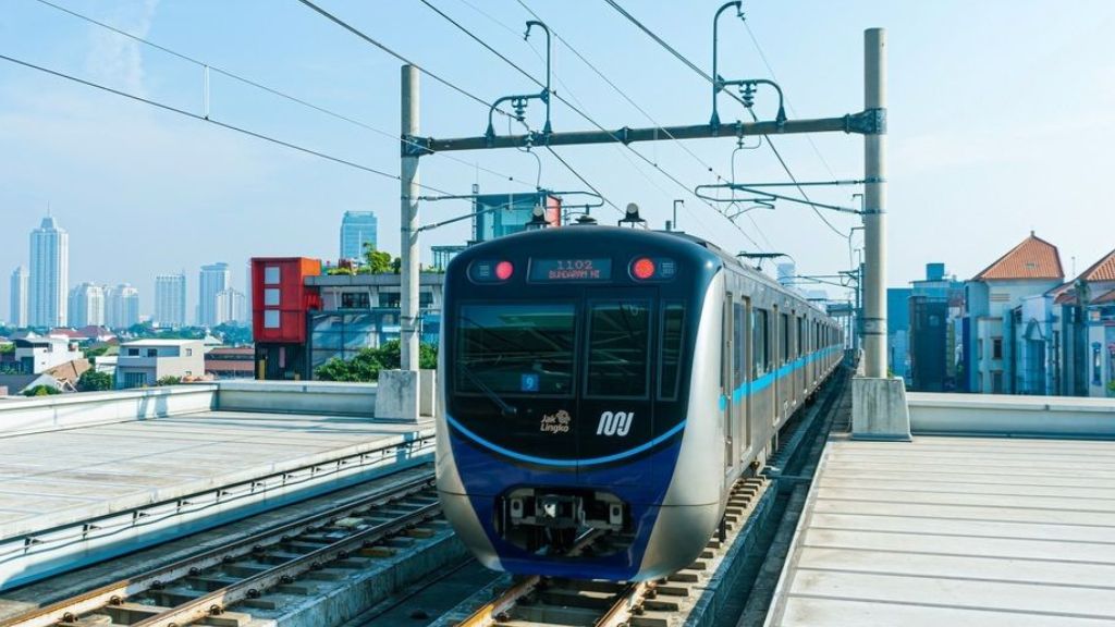
“The integration of TransJakarta buses, MRTs, LRTs, Commuter Line, as well as connectivity with surrounding areas, is key to providing more effective mobility services for the public,” said Jakarta’s Head of the Intra-City Route and Terminal Passenger Transport, Made Jony Sasrawan.
According to him, the system has been strengthened by the development of a transit-oriented development system and integrated payment system as an additional layer to streamline services.
To address congestion, the city has also implemented an intelligent transport control system.
“With the use of AI, traffic management can be carried out more dynamically as the system can adjust traffic controls based on actual road conditions,” he added.
The use of technology was expected to help reduce congestion while improving the efficiency of people's mobility.
Optimising data for logistics
From the private sector’s perspective, data integration was important for the logistics sector.
The growth of e-commerce has increased goods deliveries and put more pressure on urban infrastructure. Managing delivery routes, times, and logistics facilities requires better use of data.
Indonesia Association of Express Delivery, Postal and Logistics Services’ chairman Budiyanto Darmastono said the logistics industry already holds significant operational data that could support urban planning, including delivery histories, GPS-based vehicle locations, distribution patterns and shipment volumes.
The challenge was “how this data can be collaborated with government data to provide wider benefits?”
Indonesian Logistics Association’s chairman Mahendra Rianto echoed this view.
“Urban logistics planning needs to be supported by accurate data so that the government and industry can determine infrastructure needs more precisely, including distribution routes, logistics facilities and supporting areas,” said Rianto.
The private sector sees better alignment between spatial planning and goods distribution needs as an important factor in creating a more efficient urban logistics system.
Looking ahead, both Darmastono and Rianto hope the government can establish a data-sharing mechanism that connects government, industry, and the public. Such a mechanism would be important for building a more integrated urban ecosystem while delivering better services.