
I built the citizen layer first. The government part came later
Founder of Baladi Map, a digital platform for citizens to report municipal problems, on what civic technology looks like when procurement cannot be the starting point.
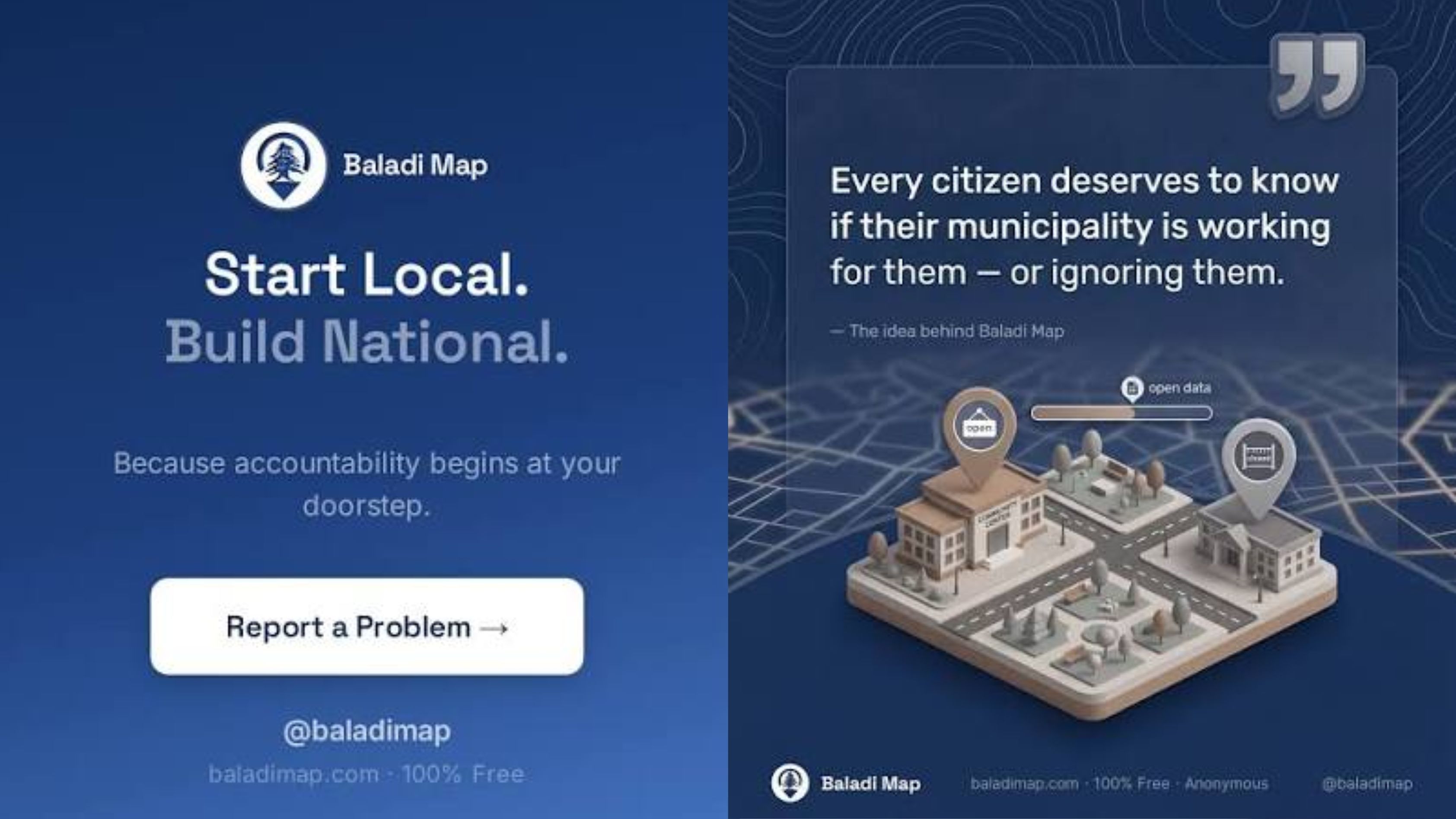
Waiting for the institution to go first can mean waiting indefinitely. So, I built the citizen layer first and left formal institutional participation for later, says Lebanese citzen and engineer Roy Bou Nassif. Image: baladimap.com
Conventional government technology is when a public institution identifies a need, finds a budget, procures a system, and invites citizens to use it.
Most playbooks, evaluation frameworks, and funding instruments assume that order without saying so.
For many Lebanese municipalities, the sequence stalls at step one.
The currency collapse has hollowed out budgets, and councils may struggle to simply keep a truck running. There may be no procurement process to enter, digital transformation office to persuade, or line item to win.
Waiting for the institution to go first can mean waiting indefinitely.
So, I built the citizen layer first and left formal institutional participation for later.
Baladi Map is a free public map where residents photograph a problem that falls within their municipality's legal remit and pin its exact location.
As of August 2026, residents had filed 77 reports across 36 towns.
The remit is not my judgement: Article 49 of Lebanon's Municipal Act (Decree-Law 118 of 1977) highlights 24 areas a council is responsible for, from streets and lighting to water, sewage and public health.
Reports cover anything from occupied public space and blocked pavements to broken traffic signals, waste, water, electricity, and noise.
Processes behind the platform
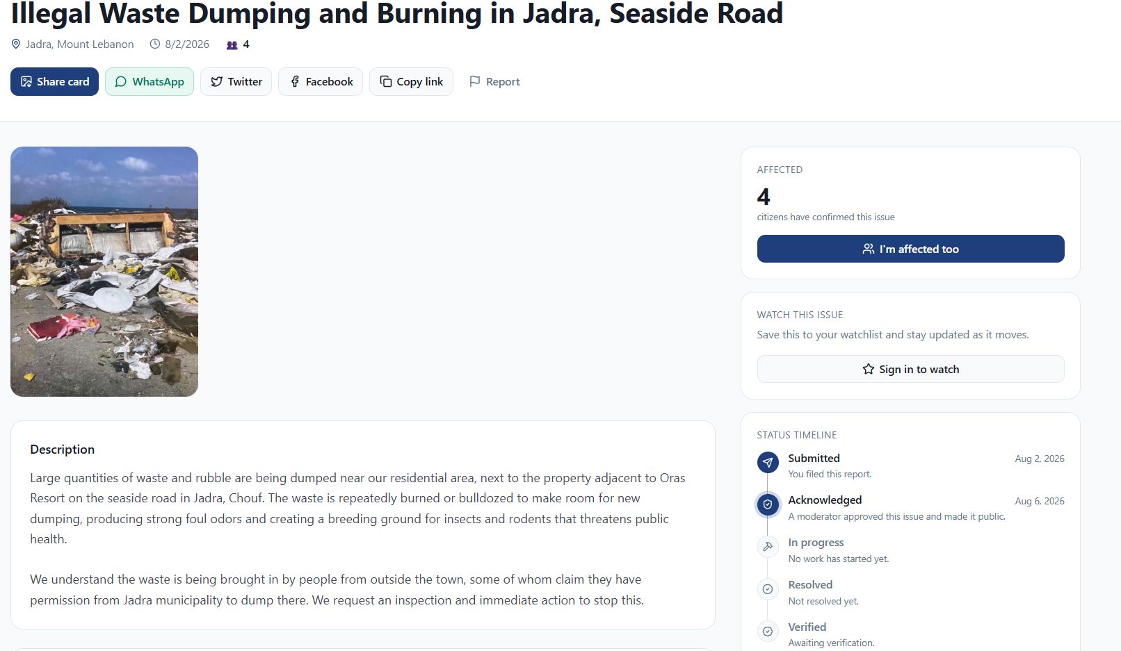
Each approved report carries a date, category, severity, coordinates, responsible municipality, and public status history. Faces and licence plates are blurred before publication, and every report is reviewed.
Each report is checked against three tests: that it falls inside municipal remit, that the location is specific enough to act on, and that it names no individual and carries no party political content.
Nothing is rejected for being unflattering to a council.
Review is currently mine alone. One reviewer is a real weakness, and the
answer to it is published criteria and a right of reply for any municipality that disputes a report.
Another missing government layer is formal participation: verified council accounts, notifications, public responses, and a shared resolution process, so municipalities can show their work, and residents can confirm the result.
Before I could map the problems, I had to map the state
I expected persuading residents to report to be the hardest part.
The surprise was how much state reference data I had to reconstruct before a report could reach the right municipality, or a scoreboard could mean anything.
Baladi Map launched with a municipality list assembled from the public sources I could find. Users soon spotted misspelled names, but spelling was the smaller problem.
The list contained 1,071 rows that collapsed into 889 distinct municipalities once duplicate spellings were merged.
Two sources had used different romanisation conventions, so the same town sometimes appeared twice or three times. Lebanon has roughly 1,100. Entire districts were largely absent, and elsewhere municipalities sat under the wrong district entirely.
The most current official source I found was the Ministry of Interior and Municipalities’ May 2025 election results, published as a set of district-level PDFs.
The files contain much of the hierarchy a reporting platform needs: each municipality’s Arabic name, council size, and constituent villages.
But they were designed for people to read, not machines to reuse.
Four carry no text layer; one was missing from the site; and standard extraction tools silently corrupt some Arabic ligatures, producing text that looks clean and is wrong.
For English spellings and municipal phone numbers, the most complete machine-readable source I found wasn’t a government portal.
It was a 2017 dataset on the Humanitarian Data Exchange, produced to support the response to the Syrian refugee crisis.
While the underlying data is the state’s own, compiled by the Central Administration of Statistics, the version that exists in reusable form is a copy an aid operation needed badly enough to publish.
Nine years later, it is still the most complete one I could find. That is the part worth sitting with.
This is what a public reference layer can look like after repeated shocks: fragmented official records, uneven capacity, and donor-built datasets filling operational gaps.
It is the real starting condition for anyone building public technology here.
What the inversion changes
Three consequences only become obvious once you work this way.
1. Adoption becomes recruitment, not rollout. No municipality has formally engaged with Baladi Map yet. That is the central open question.
What I can offer a council is not a system to procure, but a free structured record, an audience already paying attention, and visible credit for responding.
Whether that is enough to draw councils remains untested.
2. Data governance runs backwards. Normally, the institution holds the record and decides what to publish. Here, the record is public-first and the institution is invited into it.
I become the temporary custodian of reference data the state would ordinarily maintain, without a mandate to declare it definitive.
That means preserving sources, making corrections visible, and designing eventual handover. When my municipality list was wrong, it was wrong in public.
3. Usage is not the outcome. More reports show willingness to use the platform, not that anything has changed.
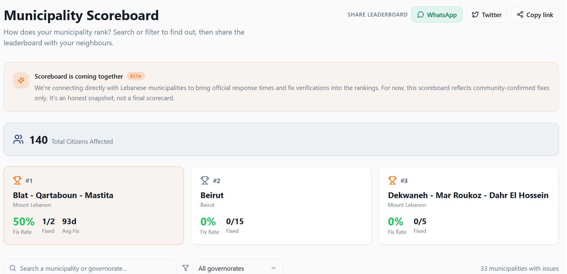
Baladi Map’s beta scoreboard tracks resident-confirmed fixes, resolution rates, and time to resolution. The early numbers are small and will remain so until councils participate.
But it is a measure I cannot improve simply by closing a ticket myself.
One thing to try tomorrow
If you are building public technology where the institution cannot go first, do not begin with the interface.
Try to obtain a usable list of the public bodies you intend to serve: their legal names, jurisdictions, covered localities, and current contacts. Give yourself one day.
If you succeed, design for integration.
If you fail, you have found your project’s most important constraint before writing a line of code. Build a provisional reference layer with clear sources, correction rules, and a path to handover.
Most teams learn this only months after their architecture has assumed otherwise.
Building the citizen layer first is not a substitute for government. For Baladi Map, it was the workable place to begin. The experiment now is whether a public record built outside the institution can become a shared record the institution chooses to join.
A proposal can be ignored. An accumulating body of evidence is harder to dismiss.
--------------------------------
Roy Bou Nassif is a Lebanese engineer and the founder of Baladi Map (baladimap.com), a free, non-partisan public platform for reporting municipal issues in Lebanon. It carries no advertising and is self-funded.