The Climate Report: What space tech and AI are doing for climate accountability
By Yun Xuan Poon
Experts shared how satellites are measuring emissions at COP26, the UN’s climate change conference in Glasgow.
The world needs a better way of measuring climate action. This was one of the key goals at the recent COP26 summit in Glasgow. Countries had previously set their own caps for carbon emissions, but there was not yet a standardised way to track their progress.
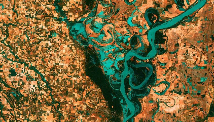
Satellites could help to nudge nations towards better accountability. There is currently a swarm of small satellites imaging the whole earth, keeping an eye on everything from coal plant emissions to illegal fishing. Here’s how this could transform climate transparency.
Trace emissions
There is a huge climate data gap to fill. “If you look at the data points that we're currently basing policy and investment decisions on within the electricity sector, around two thirds of the world has either untimely or publicly unavailable data,” said Gray. He was speaking at a COP26 panel on space tech and climate transparency.
Satellite images, combined with machine learning, can help to fill this gap. They can study how much a coal plant is used by monitoring the amount of steam spouting from its cooling towers. Another signal is the heat from the water that’s been used to cool machinery down.
Analysts can then estimate each plant’s carbon and air pollutant emissions. They can also calculate the plant’s operating cost and profitability based on how much energy it produces.
This is helpful in two ways. First, it encourages climate accountability.
China’s companies for one has a big issue with data falsification, Gray noted. This is especially problematic given that half of all coal burned is burned in China, according to the BBC.
Gray’s team is working with its government to set up a “shadow reporting system”. Chinese authorities can selectively audit suspicious plants flagged by satellite data, instead of sending a regulator to every plant. This saves both time and money.
The second way satellite data can help is to nudge policy towards cleaner sources of energy. When authorities know exactly how much money it takes to run a coal plant, it’s easier to make the case for cheaper zero carbon alternatives.
Wind and solar, for instance, are promising. It would save China money to replace 80 per cent of its existing coal plants with new wind and solar facilities, shared Gray.
“This is a data point that we just wouldn't have at facility level if we didn't have access to satellite imagery,” he added.
A lot of work needs to be done, and fast. Phasing out coal plants is one of the electricity sector’s most time-sensitive issues, Gray noted. TransitionZero estimates that the world will need to retire one plant a day every day between now and 2030, he added.
Sniff out harmful human activity
Satellite images can also preempt harmful human activity. Authorities can track the rate of forests disappearing, as well as pick out new roads being set up in these forests. These are usually good signs that deforestation work is about to begin.
“If you can train algorithms to find those roads where they don't belong, you have a really good early warning system for some forms of deforestation,” said Andrew Zolli, who is Chief Impact Officer at satellite analytics company Planet.
The Norwegian government has paid to make a map of global forests available to 64 countries, including Brazil, India, Malaysia and Indonesia. This data is often either unavailable or expensive in many parts of the world.
“We've decided to foot the bill for the world, basically," Sveinung Rotevatn, Norway’s Minister of Climate and Environment, told BBC News.
Satellite data can even pinpoint illegal fishing. Vessels would turn off their radio transponders to disappear from the radar before they begin any illicit activity.
But satellites can still capture their location, and trace where they’ve been or where they are sending their catch to. This can be very helpful for monitoring supply chains, Zolli noted.
Protect nature

Some nations have turned to satellite imaging to protect its nature. Scotland, for instance, uses it to measure the height of peatlands over time.
This indicates the health of the peat bogs by studying the amount of water and carbon they hold, Phillipa Vigano, Innovative Technologies Programme Manager at NatureScot, shared at a Holyrood magazine panel. Authorities can then identify peatlands that are in danger of fire and erosion, and start restoration efforts early, wrote NatureScot.
Peat bogs are important for combatting both climate change and biodiversity loss, NatureScot manager May Shirkhorshidi said. They hold twice as much carbon as the world’s forests, according to UN Environment. This makes them one of nature’s best ways to keep carbon out of the atmosphere.
Knowledge is power
Moving forward, accurate and available data will be crucial to draw finances to the right places. The CEO of BlackRock, one of the world’s largest investors, said last year that his corporation would start considering a firm’s potential climate impact before deciding to invest in it. They will need big data to choose wisely, Zolli pointed out.
Data isn’t just important for governments and investors. It can empower vulnerable communities whose lives have been impacted by the devastating effects of climate change.
“In the right hands, it has extraordinary leveling capability,” said Zolli. His organisation Planet shares satellite data with indigenous communities so “they have the same information basis in court to stop illegal incursions into their territories,” he shared.
Good climate data is critical “if we want the Paris Agreement to have teeth,” Zolli said. Countries agreed in 2015 to limit emissions, and they have come up with a standard way to report these at COP26. This is the first step to better climate accountability; satellite data could be the next.
The Climate Report is a series of stories on COP26, the UN’s climate change conference held in Glasgow in November 2021.